

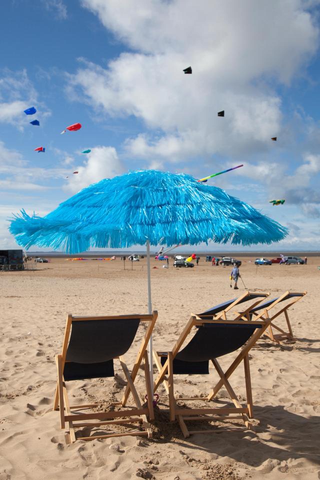
Summer will be an absolute scorcher and the UK will sizzle well into September
However the heat will trigger volatile thunderstorms and torrential downpours

TEMPERATURES will soar to 35C (95F) within the next two weeks as a heatwave grips Britain until SEPTEMBER.
Long-range forecasts indicate August is gearing up to deliver huge bursts of sizzling hot sunshine.


Thermometers are poised to rocket back into the mid 30Cs within a few days as another surge of heat blows in from the Continent.
Weathermen say the next sizzler will be longer and possibly hotter than last week’s mini heatwave which saw the mercury push past the 33C (91F) mark.
However extreme heat will trigger volatile and explosive thunderstorms bringing torrential downpours and frenzied lightning strikes.


Britain’s weather is currently under the influence of a huge area of high pressure over the Azores Islands in the Atlantic off the coast of Portugal.
Combined with an imminent shift in the jet stream to a more northerly position this will open the flood gates to a flow of scorching air from the Continent.
James Madden, forecaster for Exacta Weather, said summer still has the potential to break temperature records with “potent” blasts of heat likely through August.


Related Stories


He said: “The potential for hot weather will start developing around early August and there is great potential for a monster heatwave.
“We have entered a significant pattern change from what we experienced so far throughout the early part of summer, and this will allow a more dominant Azores high to become a frequent feature well into August.

“This high pressure will keep many parts of the country under more summer-like conditions in particular, in the southern half of the country and many parts of England and Wales.
“Additional temperature surges can also be expected and these could be very similar in nature to the recent heat surge that brought about the hottest temperatures of the year.
“It is plausible that we could see temperatures climbing to the mid 30's once again, and on numerous occasions.


“The next period of hot weather is likely to be more prolonged and last for several days at least, it will also be much hotter than our recent heatwave ”
He said although most of the country can look forward to hot, dry weather Scotland and parts of the north may be caught out by wind and rain.


He said: “Unfortunately some parts of the very far north may not fare as well for the final part of summer 2016, and they could catch a number of rather unsettled spells.
“The dominant high pressure also doesn't reveal the full picture for some parts of the very far north over the coming weeks as they will be under the influence or very close to some much cooler air for the time of the year.


“There may also be a higher than normal opportunity for an early autumn type storm or rather windy period during the final third of August, and under some less seasonal temperatures than earlier in the month.
“This type of significant low pressure is something we would normally see in late autumn and not late summer/early autumn.

“So all in all we are looking at a mix of some quite potent heat surges accompanied by some cooler spells of weather is the most apt outlook for August, with a somewhat far north or north and south divide at times.”
WeatherAction forecaster Piers Corbyn said Britain faces further “major Spanish plumes” through August driven by solar flaring.
He said: “We are looking at continuing wild variations with more very hot bursts of weather expected through the rest of summer.
“We could certainly see more than one repeat of the hot weather which hit the UK this month with further major Spanish pluming expected through August.
“This will also lead to vigorous thunderstorms through the season broken up with bursts of extreme hot weather."